Service Navigation
Search
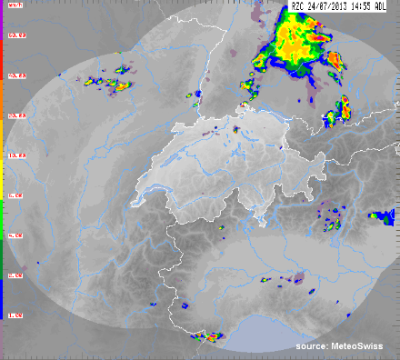
Basic radar products provide a wide range of grid data for ground-level precipitation, thunderstorms and other convection phenomena.
The following types of data are available:
- PRECIP: estimates of ground-level precipitation
- PRECIP-SV: estimates of ground-level precipitation with lateral projection
- MAX-ECHO: maximum reflectivity
- ECHO-TOP 14/45: maximum height of radar echo for 15 and 45 dBZ
All basic radar products cover the same region, namely Switzerland and neighbouring regions. The five-minute update rate of these products, together with their fast computation speed, makes them suitable for nowcasting systems with high spatial and temporal frequency. They provide basic information for estimates of ground-level precipitation and thunderstorms.
|
Parameters |
Ground-level precipitation, maximum reflectivity, maximum echo height (15 and 45 dBZ) |
|
Frequency of data delivery |
Every 5 minutes |
|
Spatial resolution |
1 km2 |
|
Data available / archived data |
From 01 January 2011 |
|
Coordinates system |
Swiss land coordinates |
|
Data quality |
The quality of the basic radar products depends on several factors. The main factors are: Radar coverage: The greater the number of radar systems covering a particular area, the higher the quality of the estimates is. In Switzerland, almost all regions are covered by observations from two or more radars. The further away the location is from the Swiss border, the lower the quality is. The region in question: In general, the quality is better in the lowland areas near to a radar than in mountainous areas that are a long way from a radar. The weather situation being observed: Light precipitation, such as sleet from the lower atmospheric levels, is more difficult to detect than heavy precipitation or thunderstorms. Further information (in English): Germann U.; Boscacci M.; Clementi L.; Gabella M.; Hering A.; Sartori M.; Sideris IV; Calpini B. 2022: Weather Radar in Complex Orography. Remote Sens. 2022, 14, 503. https://doi.org/10.3390/rs14030503 |
|
Formats |
GIF, HDF5, GeoTiff (for all of Switzerland only) ASCII, GeoTIFF (including individual sections) |
|
Price |
As per individual quotation |