Service Navigation
Search
In a low pressure situation, relatively low air pressure is recorded. The lowest air pressure is found in the centre of a low pressure area. Here, the air rises and cools as it extends outwards. The water vapour contained in the air condenses and forms clouds, which can lead to precipitation. In a high pressure situation, the opposite occurs.
Lows generally circulate over northern Europe when there is a westerly flow over Switzerland. Depending on how close the lows are, the air pressure will be more or less low. A weather situation with low air pressure over Switzerland means there is a low centred over or close to the Alps. The frequency with which this situation occurs in winter varies considerably. It is less common in the summer.
The differences between winter and summer
The weather in Switzerland varies considerably depending on the position of the low pressure area. In autumn and winter, the weather generally tends to be cloudy and damp. However, there can also be calm and sunny spells. When there is an area of low pressure centred practically over Switzerland, the wind at ground level tends to be weak and its direction will vary from region to region. A low in the western part of Switzerland can lead to foehn conditions in the Alps. The wind will then blow from the south, and there will be increased precipitation in the west of the country and on the southern slopes of the Alps. Conversely, a low in the eastern part of Switzerland usually gives rise to a northerly flow with foehn on the southern slopes of the Alps and increased precipitation due to orographic effects on the northern slopes.
At the end of spring and in summer, lows will often only be noticeable at relatively high altitudes, and lower air pressures will not be found at ground level. This is known as a cut-off low or a cold drop. These low pressure systems consist of a cold air zone at altitude, which destabilises the air mass and provides the conditions for showers and thunderstorms to form.
The formation of a low pressure system
A low pressure system occurs in zones with divergent air movement, usually in the middle and upper layers of the troposphere. This divergence creates suction that causes the lower layers of the atmosphere to move upwards. As the air rises, this causes the air pressure to drop and the air at ground level to converge. The air cools as it rises. As a result, the water vapour contained in the air condenses, causing clouds to form. At higher altitudes, the air in a low pressure system is thus colder than the surrounding air.
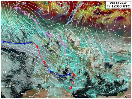
Low pressure system over the Gulf of Genoa
When the flow over the Alps has a northwesterly orientation, the air is pushed up against the northern slope of the Alps and creates overpressure. Conversely, on the southern side of the Alps (out of the wind), it creates low pressure. This can cause a low-pressure centre to form, which intensifies over the Gulf of Genoa, over the warm waters of the Mediterranean. A low pressure system over the Gulf of Genoa can bring intense, persistent precipitation to the Alps. Particularly in the autumn, when mild, humid air is carried from the Mediterranean to the Alps, precipitation on the southern side of the Alps can be intense (see heavy precipitation). These heavy precipitation events are often associated with thunderstorms.