Service Navigation
Search

Drier summers

More extreme heat

More frequent heavy precipitation

Less snow and cold

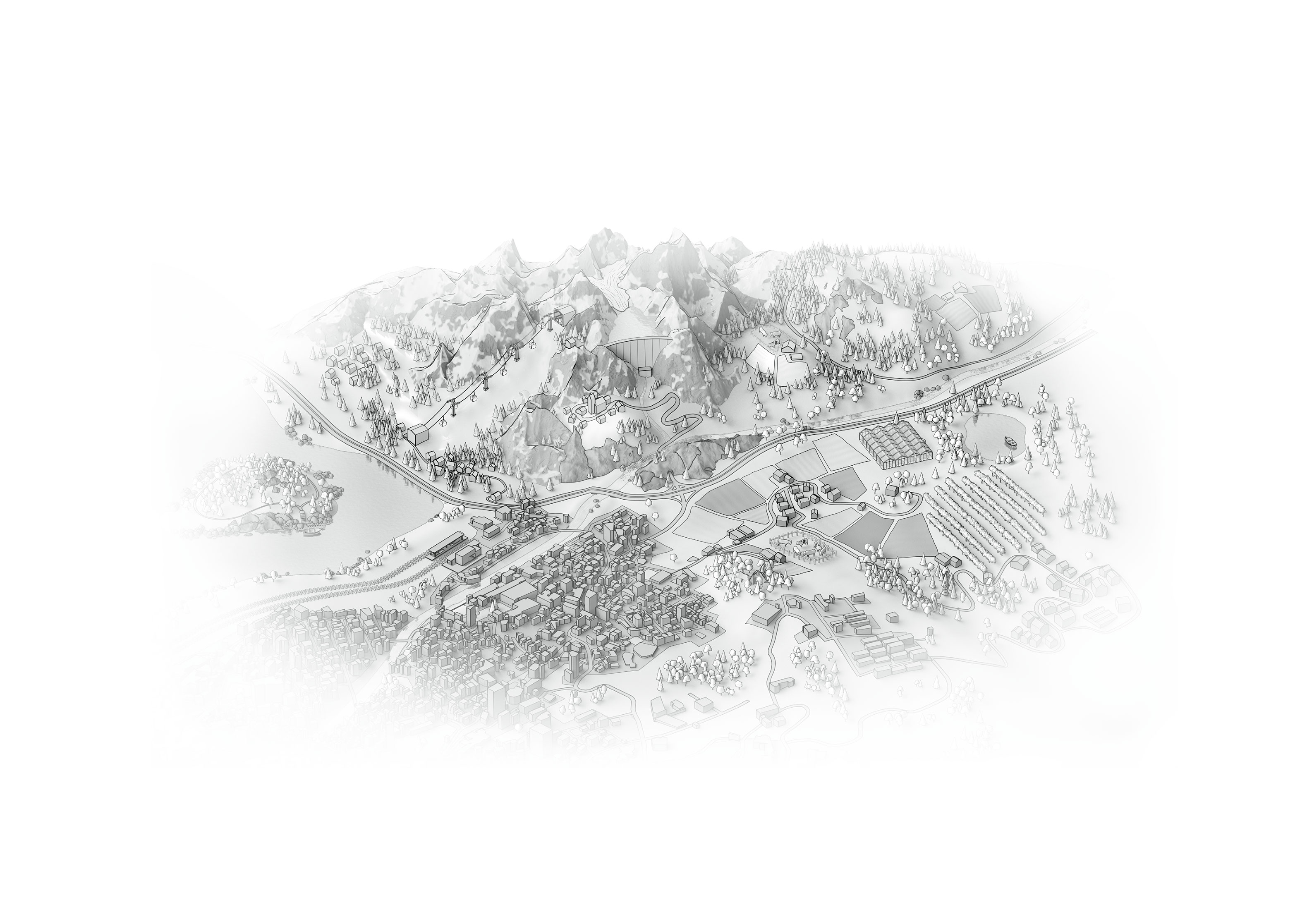
Switzerland is severely affected

Every tenth of a degree counts
Over the past three decades, soils in Switzerland have become increasingly dry in summer. The causes include higher temperatures, increased evaporation and declining summer precipitation. Summer drought and weather-related forest fire risk will continue to increase with climate change.
Maximum temperatures in Switzerland are rising much more sharply than average temperatures. Extreme heat events are becoming more frequent and more intense. The impacts of extreme heat have already increased significantly, particularly at low altitudes and in urban areas. These trends are set to continue in the future.
Heavy rainfall events are occurring more frequently and are more intense today than in the first half of the 20th Century. With climate change, Switzerland must expect a further increase in heavy rainfall across all seasons in the future.
Since the beginning of the 20th century, the zero-degree line in Switzerland has risen sharply in winter. At high altitudes, precipitation increasingly falls as rain rather than snow. As a result, snow cover is decreasing and the melting of snow and ice is accelerating. This trend will continue to intensify in the future.
Climate change is particularly evident in Switzerland and is already having a significant impact. In future, the rise in temperature in Switzerland will continue to be much more pronounced than the global average.
How much and how quickly the climate continues to change depends on future human greenhouse gas emissions. To meet agreed climate targets, the international community must reduce its emissions rapidly and significantly. Every reduction lessens the impacts, including those in Switzerland. At the same time, adaptation to ongoing changes is essential, with the severity of impacts guiding the scale of measures.
Why new climate scenarios?
Based on the Federal Council's mandate and as part of Switzerland’s strategy for adaptation to climate change, the Federal Office of Meteorology and Climatology, MeteoSwiss, regularly provides up-to-date climate scenarios that are freely available for all applications. MeteoSwiss develops these scenarios in collaboration with ETH Zurich and the Center for Climate Systems Modelling (C2SM), with contributions from the University of Bern and the University of Lausanne, under the umbrella of the National Centre for Climate Services (NCCS). At the global level, the latest scientific findings on climate change are published regularly by the Intergovernmental Panel on Climate Change (IPCC). Each update for Switzerland incorporates the most recent research, including IPCC findings, the latest modelling, and feedback from users. This ensures that individuals and organisations, both public and private, can always work with the best-available data.
What's new in Climate CH2025?
Since publication of the Swiss climate scenarios CH2018, the climate itself, science and user needs have continued to evolve. A key objective of Climate CH2025 is to better link observational data and model-based scenarios. This enables consistent and application-oriented information to be provided, for example, through the introduction of global warming levels (GWLs). These allow political climate targets to be directly compared to climatic impacts.
Climate CH2025 builds on CH2018 and expands the work with longer measurement series, improved process understanding and information from new, high-resolution and convection-permitting climate models. In addition, the current MeteoSwiss reference period 1991–2020 is used. Detailed information on heavy precipitation and heat in urban areas is also compiled. In line with the rapid warming observed, the new scenarios show higher warming than previous projections. With global warming of 3 degrees Celsius compared to pre-industrial times, this corresponds to approximately 10 to 15 percent more warming than presented in CH2018.