Service Navigation
Search
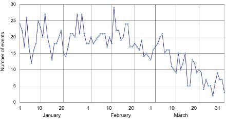
A regularly occurring weather pattern or singularity is defined as a deviation from the average annual course of meteorological elements that occurs on certain days in the annual calendar with reasonable regularity. The phenomenon of the March cold snap can be identified by the number of days on which snow falls (fresh snowfall events). Fresh snowfall becomes a less frequent occurrence by the end of February at the weather stations in eastern Switzerland (Einsiedeln, Elm, Lucerne, St. Gallen and Zurich). In the first few days of March, however, the number of fresh snowfall events picks up again until 6th March, both in the lowlands and all along the northern slopes of the Alps, up to an elevation of around 1,000 metres above sea level. An extreme cold snap with record-high snow levels was seen in the lowlands on the northern side of the Alps on 4th and 5th March 2006.
March cold snap more common at higher elevations
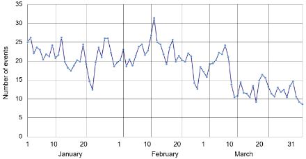
The climatological phenomenon of a cold snap in March is even more common at higher elevations. The 100+ year snow measurement series from Arosa (at 1,880 m.a.s.l.) shows fresh snowfall to be a much more common occurrence between 1st and 7th March than in the second half of February or the subsequent weeks in March.
March cold snap signals end of winter in the lowlands
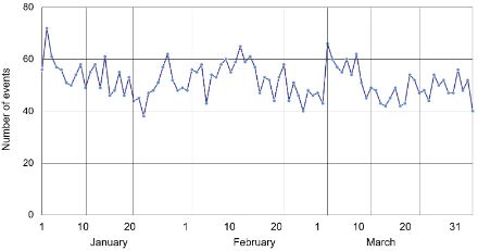
In the lowlands on the northern side of the Alps, the frequency of fresh snowfall decreases rapidly after the March cold snap. In the last third of March, the weather station in Lucerne sees fresh snowfall only about once every 10 to 20 years. However, that does not rule out the possibility of snow falling after this date. The changeable month of April is known for bringing the occasional blanket of snow to the lowlands on the northern side of the Alps. However, the snowfall is usually light, and melts again after a few hours.