Service Navigation
Search
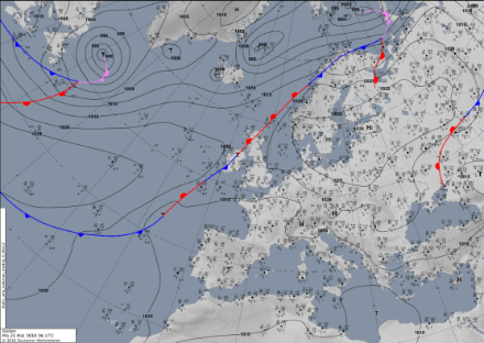
An even pressure distribution is a typical weather situation for the summer months. Air-pressure differences across western and central Europe are only slight, and there is only slight horizontal movement of air in all but the uppermost layers of the troposphere. In contrast to a situation with high atmospheric pressure, there is no subsidence with even pressure distribution, i.e. the air does not sink over a wide area. This situation favours the formation of cumulus clouds.
From partly cloudy skies to heavy thunderstorms
With an even pressure distribution, only light winds occur in all but the uppermost reaches of the atmosphere. In contrast to a stable high-pressure area, the air masses are humid and unstable conditions prevail. The weather then mostly follows the diurnal cycle: In the morning it is partly cloudy, and, as the day progresses, warm air masses rise due to solar radiation, until the excess water vapour condenses and cumulus clouds form. As a result, showers and thunderstorms occur.
Violent thunderstorms lead to an exchange of air masses, with the result that stabilisation usually occurs within a few days. However, an even pressure distribution can also persist for a long time, which can lead to flooding and mudslides.