Service Navigation
Search
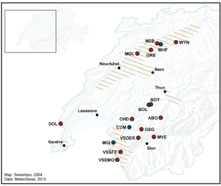
- Beginning of the event: 30 April 2015
- End of the event: 4 May 2015
- Duration of the event: 5 days
Affected regions: the Jura, the foot of the Jura and Plateau, the region of Thun, the Chablais, the Lower Valais and the region of Geneva.
Note: in the region of Geneva, the damages were caused by the Arve river. The Arve river runs through France from its source in the Mont Blanc massif down to the level of Geneva where it joins the Rhone. Since the precipitation that contributed to the high discharge of the Arve river occurred over French territory, no precipitation information is available over that area and hence the region of Geneva will not be mentioned in the description of the event.